Other posts
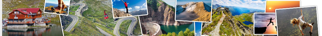
A daily shuttle service between Sibiu and Transfagarasan is made by Carpathian Travel Center, tourist company from Sibiu. Balea Bus is leaving from Thalia station, stops on route at Avrig and Cartisoara, then go to Balea Waterfall, where passengers ascends to Balea Lake by cablecar.
read more...
How I discovered the mountain: I used to go every year to the mountain and spent 10 days in a rest house with 3 meals per day paid blanket lying on the grass behind the complex of accommodation, where 20 children were playing volleyball screaming loudly and occasionally slamming me by a ball in the head. In the evening I went for a beer at terrace and a dance, then I was deep sleeping because of hard mountain air.
read more...
In Fagaras Mountains can practice skiing thanks to generous coating of snow and of the slopes from housed valleys. On Balea Valley is a cablecar, which is only improvement in the area. At Urlea Chalet, at 1533 meters, it is skiing in Curmătura Colților and in the highest area it is recommended Șleaul Mușuleții, to one hour and a half from cottage.
read more...