Maps with Fagaras Mountains
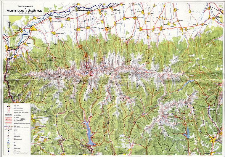
Tourist map
Tourist map of Fagaras Mountains includes points of interest such as cities, communes or villages, chalets and hotels; on the sign of red cross are marked tourist huts and Rescue alerting points and other markings are for resting areas and camp sites recommended. The infrastructure is diverse signaled track / forestry / train stations, European and national roads - with or without upgrades, trails with route number. There tourism signs also indicate tunnels, cable car, monument, peak, saddle, isolated rocks, caves, rivers, dams, forests, nature reserves and resorts, ruins, sheep, etc.
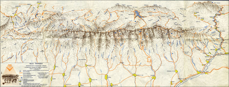
View from North
The view from the North is an aerial perspective representation, indicating marked walking trails. There are signaled pastoral and forest roads, railways, odds altitude cable car, hotel, monastery, monuments, relics and architectural buildings.
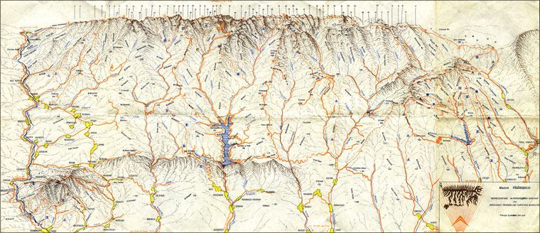
View from South
The view from the South is also an aerial perspective representation, indicating marked walking trails.
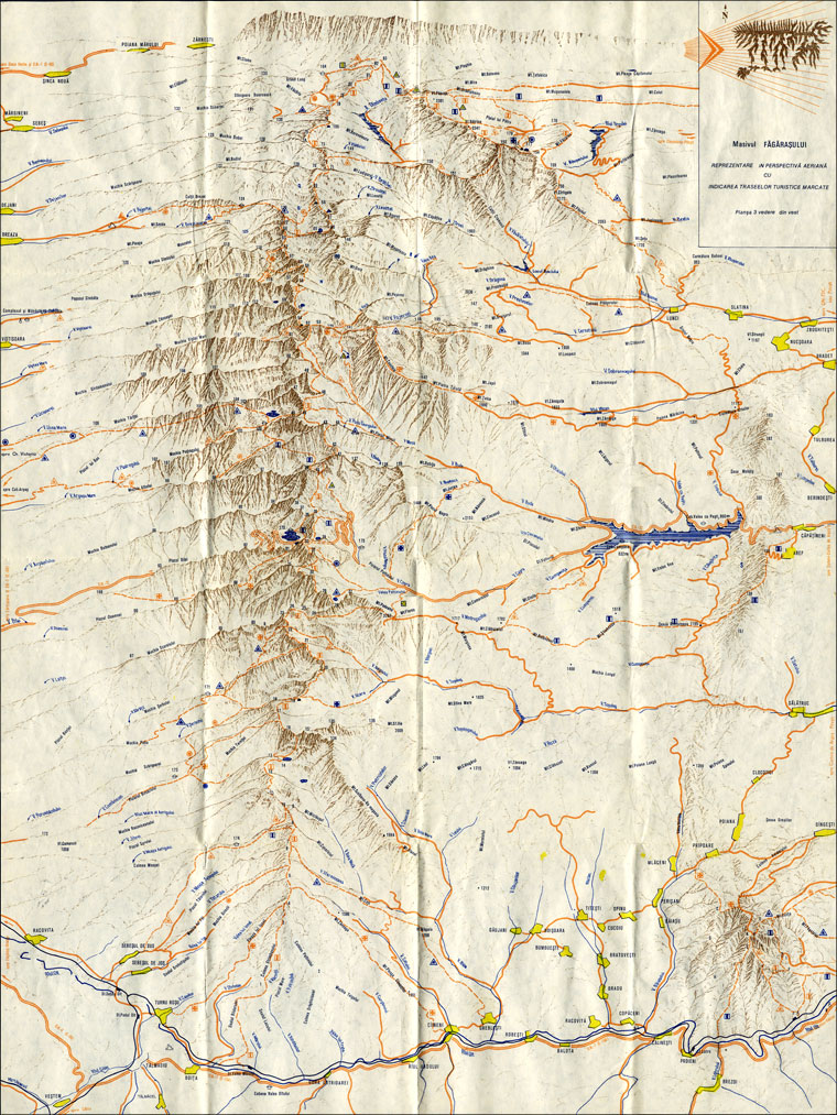
View from West
The view from the West indicating the trails marked in a perspective representation airalso.
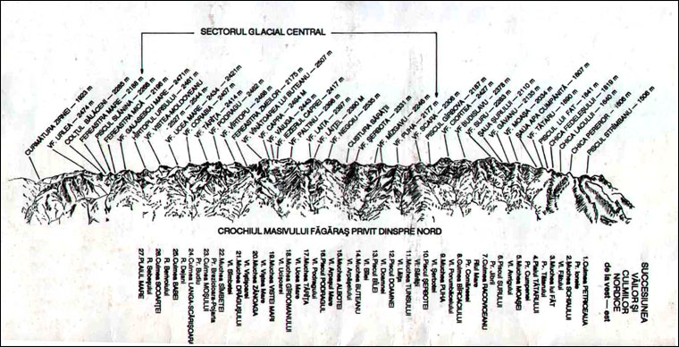
Map succession peaks from N
Map sequence from the N signal peaks Glacial Central Sector and Crochiul of Fagaras Mountains seen from the North.

